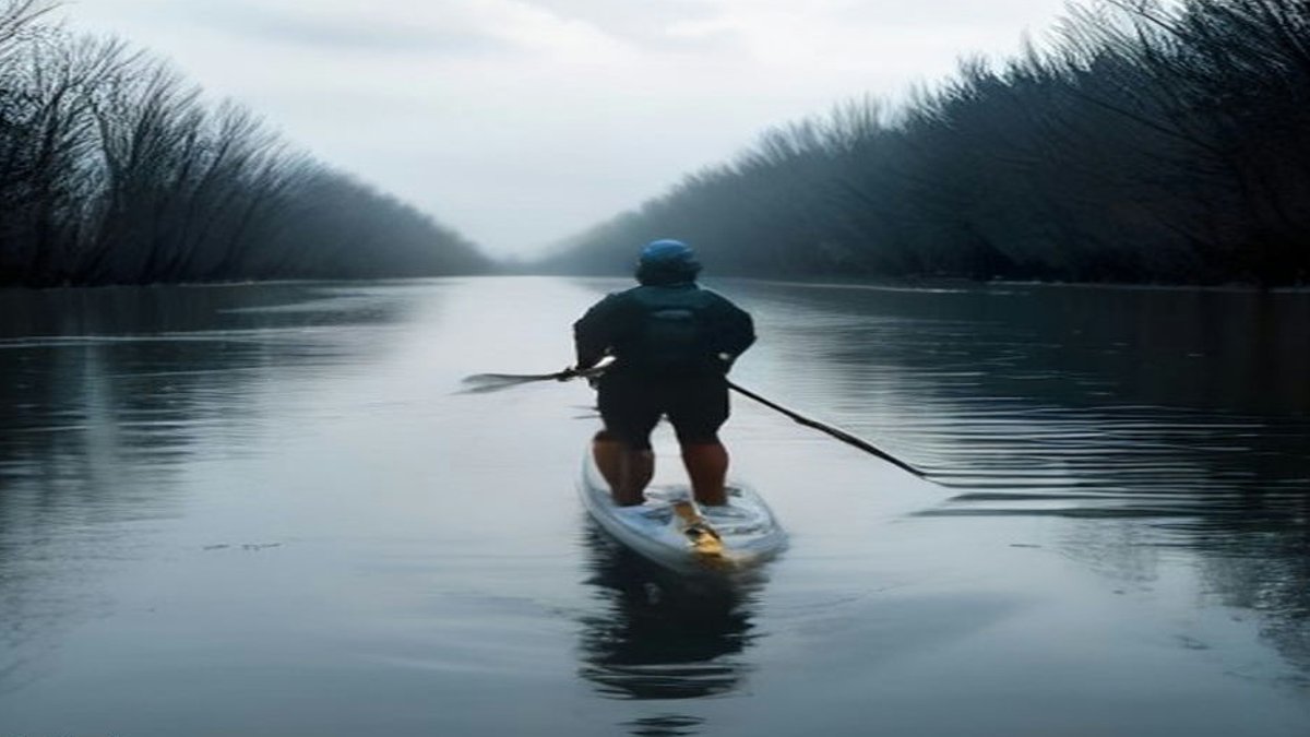
Marin County roads and bike paths turned into makeshift waterways after heavy tides submerged coastal zones just north of San Francisco this week. The surge came from unusually warm Pacific waters tied to a strengthening Super El Niño, which raised sea levels beyond October norms and flooded stretches of Shoreline Highway. Authorities closed multiple roadways in response. Drone footage from the San Francisco Standard on October 27 captured kayakers working through the flooded bike path between Mill Valley and Sausalito, an area more commonly associated with cyclists and runners than watercraft.
Recreational watercraft users seized the chance to explore the flooded routes. Drone images from October 27 captured kayakers moving along the same bike path, while paddleboarders passed by abandoned vehicles. The flooding began on October 26 and persisted through October 31, with the National Weather Service predicting additional coastal flooding. Warm ocean water linked to the Super El Niño had expanded across the Pacific, amplifying already high tides and creating conditions normally seen in winter months.
Meteorologist Brian Garcia of the National Weather Service observed that the high tides surpassed typical winter levels. “We typically don’t see flooding from tides this time of year,” Garcia said. “The water actually rose higher than what we’d expect during the biggest tides of winter.” The sudden shift, from dry pavement to two feet of water within 30 minutes, left drivers stranded, including one whose vehicle filled halfway before a tow operator pulled it free. On Miller Avenue, a driver became trapped inside his car as floodwaters rose rapidly, forcing rescue efforts by a tow truck operator.
A cyclist heading from Tiburon to Sausalito found her return path blocked by the floodwaters. The San Francisco Chronicle noted the disruptions to daily travel. While some residents adapted by using kayaks or paddleboards, others endured delays and safety hazards. The rapid flooding also stranded motorists on Shoreline Highway near Highway 101, where water rose unexpectedly, cutting off access for hours.
Climate scientist Daniel Swain from the University of California had warned as early as August that the El Niño event could worsen ocean levels and heighten storm risks. The worst tides are anticipated around Thanksgiving, Christmas, and late January, with the potential for historic high-water marks if storms align with peak tides. If powerful winter storms coincide with these tides, California could face record coastal flooding.
