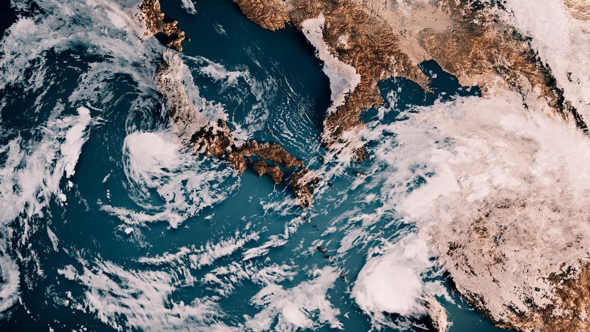
A rare super El Niño is forecasted to bring extreme weather, severe flooding, and altered snowpacks this fall and winter. There is a 75 percent chance that the predicted Super El Niño will become the strongest since records began in 1950, according to the latest forecast from the National Oceanic and Atmospheric Administration.
One traveler who experienced the impact of extreme weather firsthand is a writer who had their trip to Bhutan derailed by heavy rains. Internal flights were canceled, and the camp they were staying at in Haa Valley flooded, leaving them stranded. This experience is not an isolated incident, as weather-related disruptions have become a fixture of their trips.
Experts warn that the weather is only going to get worse, with the super El Niño expected to reach peak intensity by early 2027. The University of Chicago’s Climate Impact Lab estimates that it could result in 451,000 excess deaths by February. Dr. Jonas Jägermeyr, an associate research scientist at Columbia Climate School, says that “El Niño is back with a vengeance with the potential to bring Godzilla-strength storms.”
Rising temperatures due to climate change coupled with the cyclical pattern of El Niño could drive global temperatures and weather extremes to new highs in 2027, according to Dr. Jägermeyr. Rains and flooding are predicted to be so extreme in California that Governor Gavin Newsom has already declared a state of emergency to mobilize resources ahead of a potentially historic storm season this winter.
El Niño and Its Impact
El Niño and La Niña refer to the warm and cool phases of a natural climate cycle that takes place across the tropical Pacific. El Niño years are marked by warmer-than-average ocean temperatures in the central and eastern Pacific Ocean, while La Niña years are characterized by cooler-than-average temperatures. A strong or “super” El Niño occurs when sea-surface temperatures in the eastern equatorial Pacific jump 2 degrees Celsius above average.
According to Marty Ralph, director of the Center for Western Weather and Water Extremes, there have been fewer than ten super El Niños since 1950, with the last occurring between 2015 and 2016. On September 21, the daily sea surface temperature in the central and eastern equatorial Pacific Ocean reached 3.08 degrees Celsius warmer than the 1991 to 2020 average, which is more extreme than any other El Niño ever recorded.
A warming ocean is like a pot of boiling water, says Dr. Ralph. When that water vapor condenses in the air, heat and energy are released, which can give extra energy to storms and bring unrelenting rain. The planet’s atmosphere held more water vapor in August than any other month on record, which can increase drought when evaporation occurs over dry land.
Historically, El Niño typically brings a warmer-than-usual winter to the northern U.S., and a wetter, cooler winter in the South, with a higher likelihood of rain and snow. However, strong El Niño events do not happen often and can bring varied outcomes, says Dr. Ralph. The effects of El Niño can go either way, but when it goes big, it tends to go extra big.
Regional Impacts of El Niño
While El Niño is a global climate pattern, some of the most notable travel impacts this winter are expected across North America, the Caribbean and Pacific islands, South America, and parts of Asia. Nick Cavanaugh, founder of the weather prediction company Sensible Weather, forecasts that the Southern U.S. and the Gulf Coast will see wetter-than-normal conditions this winter, with increased precipitation and heavy rain, flooding, and winter storms.
El Niño typically favors warmer and drier winter conditions across parts of the northern U.S. and Canada, which can mean more sleet and ice and less snow in the Northeast of the U.S. as well as throughout Canada. However, not every ski destination will see the same effect, as El Niño can produce a sharp north-south divide in winter precipitation across the West.
Cavanaugh notes that El Niño can suppress Atlantic hurricane activity by increasing vertical wind shear, which could reduce the likelihood of tropical cyclone development across the Atlantic and Caribbean during the latter part of the 2026 hurricane season. Nevertheless, hurricane risk still exists, and travelers should be aware of the potential for heavy rainfall and flooding in coastal Ecuador and northwestern Peru.
In Hawaii and the Pacific islands, tropical storm activity can increase in El Niño years, making parts of the Pacific more weather-sensitive during hurricane season. NOAA warns that the risk of wildfires may increase, and travelers should be prepared for varied weather conditions, particularly in outdoor destinations and coastal resorts.
As the super El Niño intensifies, travelers can prepare for the potential disruptions by building flexibility into their trip plans, identifying weather-sensitive activities, and having backup plans in place. Dan Richards, founder and CEO of Global Rescue, advises travelers to book changeable flights and accommodations, avoid tight connections, and know their alternatives before they leave.
Cavanaugh suggests that travelers prioritize properties that offer flexible policies, plenty of indoor amenities, or weather-related reimbursement options. By acting on the warning, not the weather, travelers can make changes early and avoid disruptions, such as road closures, flight cancellations, and hotel shortages.
Richards emphasizes the importance of monitoring the weather and preparing for the systems around them to fail, including electricity, cellular networks, electronic payments, fuel supplies, and local transportation. Travelers should keep devices charged, carry backup power, maintain access to emergency cash, and keep passports and important documents immediately accessible.
According to Dr.
